El Niño has officially arrived, and it could be of great intensity
· Telemundo McAllen (KTLM)
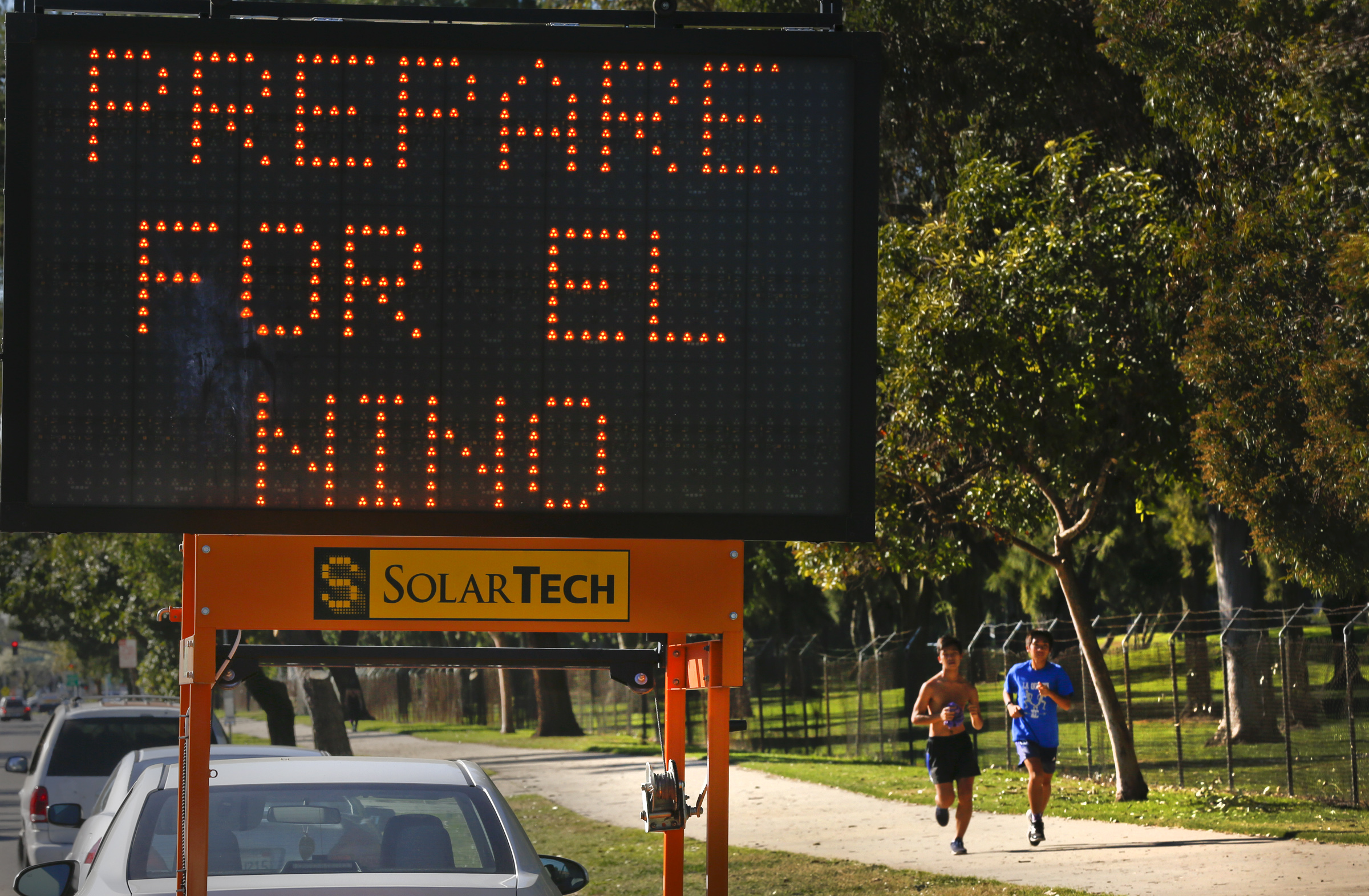
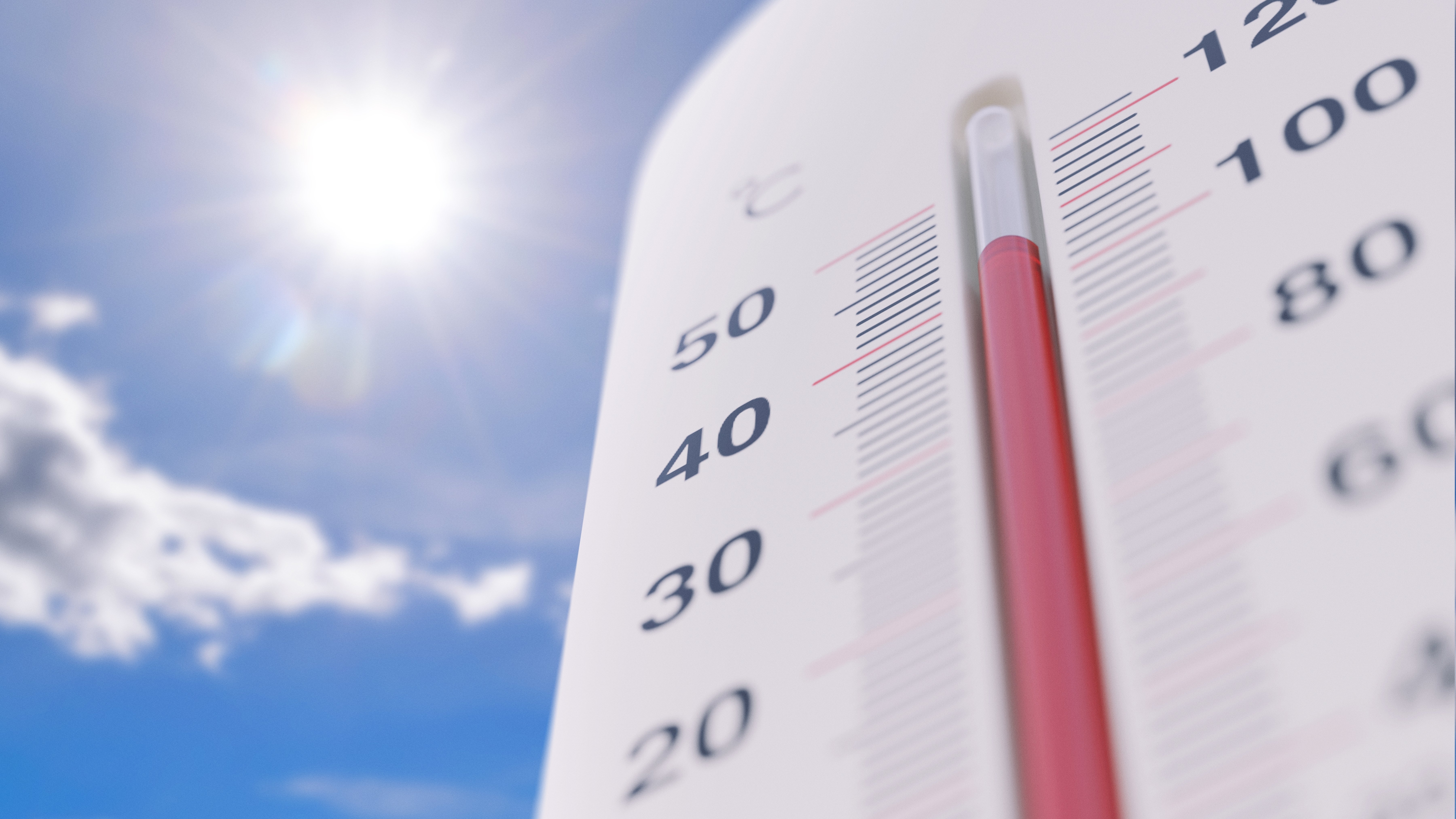
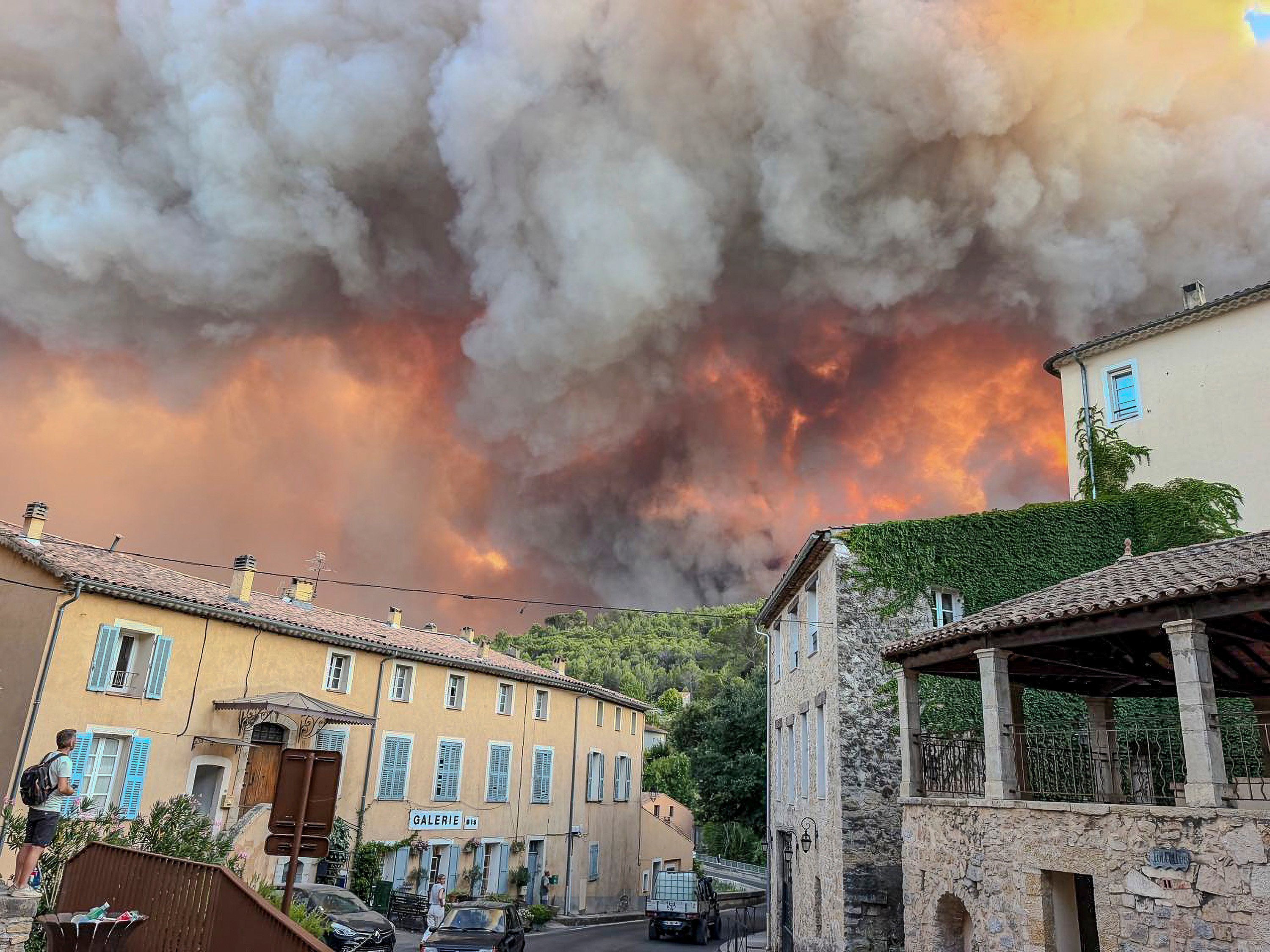
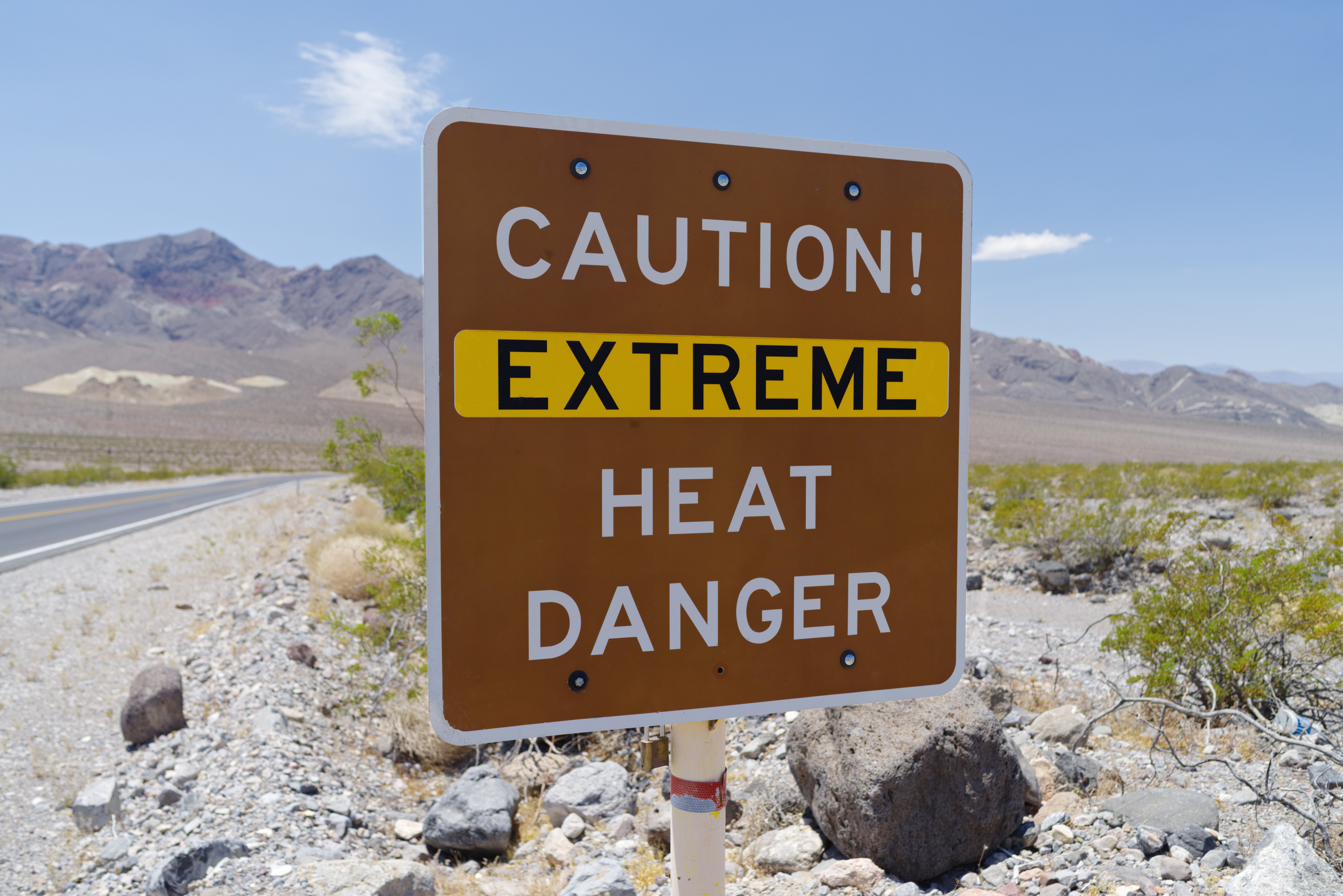
Prepare for intense heat, drought, and some flooding: the National Weather Service (NWS) announced on Thursday that the El Niño season has officially begun. This episode of El Niño could rival some of the strongest ever documented, according to NWS models. 'There is a 63% chance that we will experience a very intense El Niño episode between November and January, which could rank among the strongest recorded historically,' said Ariel Cohen, a meteorologist with the NWS in Los Angeles, during a press conference at the Aquarium of the Pacific in Long Beach, California. 'We are already seeing how those warm temperatures are aligning.' El Niño is a natural climate pattern that causes an increase in sea surface temperatures in the tropical Pacific Ocean. It is associated with higher average global temperatures, thus exacerbating warming caused by climate change. This phenomenon leads to a reduction in the number of hurricanes in the Atlantic and an increase in the Pacific. In the United States, the influence of El Niño is most evident during the winter, as it alters the usual flow of the jet stream, the band of air that encircles the Northern Hemisphere and determines weather patterns. Typically, this phenomenon shifts the jet stream southward. In the Pacific Northwest, this results in drier and warmer winter conditions, which is concerning this year as much of the region is already experiencing drought after moderate snowfall. In southern states, the trend usually brings unusually wet weather during winter, which could set the stage for flooding. El Niño can also cause intense marine heatwaves and disrupt marine life, leading to mass die-offs and attracting unusual tropical fish to coastal waters.
AI summary · Source: Telemundo McAllen (KTLM) →